
Hillsdale topographic map
Interactive map
Click on the map to display elevation.
About this map
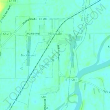
Name: Hillsdale topographic map, elevation, terrain.
Location: Hillsdale, Rock Island County, Illinois, USA (41.59895 -90.19119 41.61775 -90.16644)
Average elevation: 584 ft
Minimum elevation: 568 ft
Maximum elevation: 630 ft