
Penagos topographic map
Interactive map
Click on the map to display elevation.
About this map
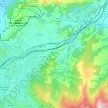
Name: Penagos topographic map, elevation, terrain.
Location: Penagos, Santander, Cantabria, 39627, España (43.29598 -3.85533 43.37143 -3.77522)
Average elevation: 673 ft
Minimum elevation: 59 ft
Maximum elevation: 2,523 ft