
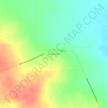
Bonnie Rock topographic map
Interactive map
Click on the map to display elevation.
About this map
Name: Bonnie Rock topographic map, elevation, terrain.
Location: Bonnie Rock, Western Australia, Australia (-30.55635 118.34185 -30.51635 118.38185)
Average elevation: 1,358 ft
Minimum elevation: 1,276 ft
Maximum elevation: 1,467 ft