
Gandikota topographic map
Interactive map
Click on the map to display elevation.
About this map
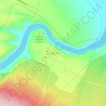
Name: Gandikota topographic map, elevation, terrain.
Location: Gandikota, Jammalamadugu, YSR, Andhra Pradesh, India (14.79499 78.26700 14.83499 78.30700)
Average elevation: 974 ft
Minimum elevation: 597 ft
Maximum elevation: 1,578 ft