
Ryukyu Islands topographic map
Interactive map
Click on the map to display elevation.
About this map
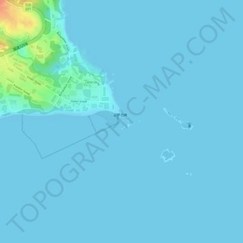
Name: Ryukyu Islands topographic map, elevation, terrain.
Location: Ryukyu Islands, Nago, Okinawa Prefecture, 905-8540, Japan (26.51995 128.05295 26.52005 128.05305)
Average elevation: 13 ft
Minimum elevation: 0 ft
Maximum elevation: 167 ft