
Old Harbour topographic map
Interactive map
Click on the map to display elevation.
About this map
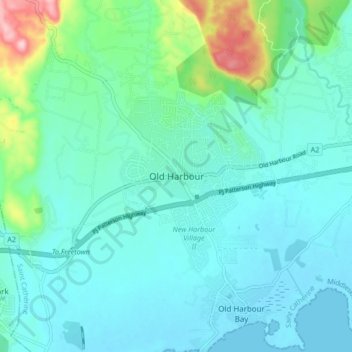
Name: Old Harbour topographic map, elevation, terrain.
Location: Old Harbour, Saint Catherine, Middlesex County, Jamaika (17.89839 -77.15342 17.97839 -77.07342)
Average elevation: 138 ft
Minimum elevation: -3 ft
Maximum elevation: 784 ft