
Çankaya topographic map
Interactive map
Click on the map to display elevation.
About this map
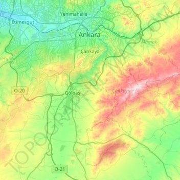
Name: Çankaya topographic map, elevation, terrain.
Location: Çankaya, Ankara, Central Anatolia Region, Turkey (39.65950 32.62582 39.93682 33.14353)
Average elevation: 3,622 ft
Minimum elevation: 2,595 ft
Maximum elevation: 6,122 ft
Other topographic maps
Click on a map to view its topography, its elevation and its terrain.