
Schaarbeek topographic map
Interactive map
Click on the map to display elevation.
About this map
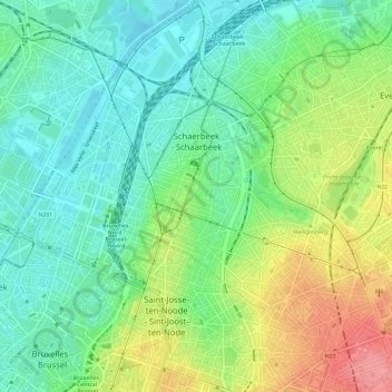
Name: Schaarbeek topographic map, elevation, terrain.
Location: Schaarbeek, Brussel-Hoofdstad, Brussel Hoofdstad, België (50.84341 4.35713 50.88120 4.41308)
Average elevation: 138 ft
Minimum elevation: 33 ft
Maximum elevation: 328 ft