
Kathua topographic map
Interactive map
Click on the map to display elevation.
About this map
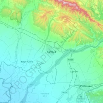
Name: Kathua topographic map, elevation, terrain.
Location: Kathua, Jammu and Kashmir, India (32.33655 75.48430 32.41655 75.56430)
Average elevation: 1,138 ft
Minimum elevation: 968 ft
Maximum elevation: 1,598 ft