
Ensley topographic map
Interactive map
Click on the map to display elevation.
About this map
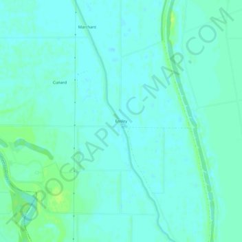
Name: Ensley topographic map, elevation, terrain.
Location: Ensley, Sutter County, California, United States (38.78740 -121.69274 38.82740 -121.65274)
Average elevation: 23 ft
Minimum elevation: 10 ft
Maximum elevation: 52 ft