
Île Chevreau topographic map
Interactive map
Click on the map to display elevation.
About this map
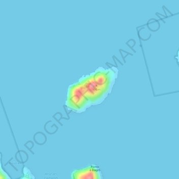
Name: Île Chevreau topographic map, elevation, terrain.
Location: Île Chevreau, Saint-Barthélemy, 97133, France (17.92997 -62.85521 17.93704 -62.84679)
Average elevation: 7 ft
Minimum elevation: 0 ft
Maximum elevation: 338 ft
Other topographic maps
Click on a map to view its topography, its elevation and its terrain.
Île Fourchue
France > Saint-Barthélemy > Saint-Barthélemy
Île Fourchue, Saint-Barthélemy, 97133, France
Average elevation: 7 ft