
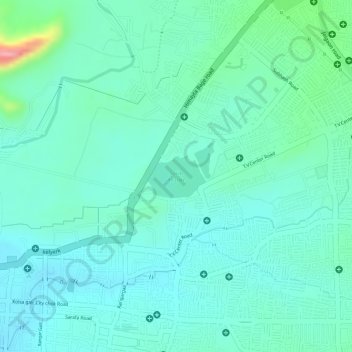
Salim Ali Lake topographic map
Interactive map
Click on the map to display elevation.
About this map
Name: Salim Ali Lake topographic map, elevation, terrain.
Location: Salim Ali Lake, Aurangabad, Maharashtra, 431002, India (19.89738 75.33881 19.90067 75.34358)
Average elevation: 1,936 ft
Minimum elevation: 1,844 ft
Maximum elevation: 2,264 ft