
Bryson topographic map
Interactive map
Click on the map to display elevation.
About this map
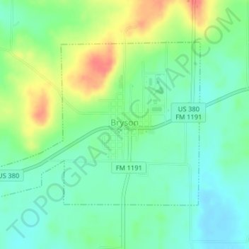
Name: Bryson topographic map, elevation, terrain.
Location: Bryson, Jack County, Texas, 76427, United States of America (33.15280 -98.40764 33.17070 -98.37661)
Average elevation: 1,250 ft
Minimum elevation: 1,184 ft
Maximum elevation: 1,375 ft