
Dalby Springs topographic map
Interactive map
Click on the map to display elevation.
About this map
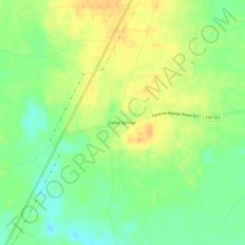
Name: Dalby Springs topographic map, elevation, terrain.
Location: Dalby Springs, Bowie County, Texas, United States of America (33.34901 -94.69965 33.38901 -94.65965)
Average elevation: 315 ft
Minimum elevation: 256 ft
Maximum elevation: 367 ft