
Erías topographic map
Interactive map
Click on the map to display elevation.
About this map
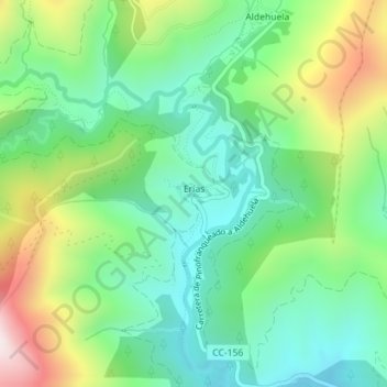
Name: Erías topographic map, elevation, terrain.
Location: Erías, Las Hurdes, Cáceres, Extremadura, Spain (40.36957 -6.39608 40.37117 -6.39099)
Average elevation: 2,572 ft
Minimum elevation: 1,811 ft
Maximum elevation: 4,121 ft