
Mazkeret Batya topographic map
Interactive map
Click on the map to display elevation.
About this map
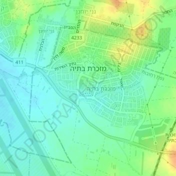
Name: Mazkeret Batya topographic map, elevation, terrain.
Location: Mazkeret Batya, Center District, Israel (31.83905 34.83383 31.85792 34.85665)
Average elevation: 203 ft
Minimum elevation: 161 ft
Maximum elevation: 276 ft