
Schelle topographic map
Interactive map
Click on the map to display elevation.
About this map
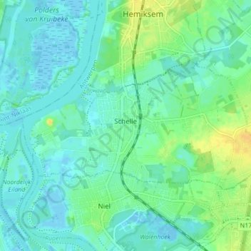
Name: Schelle topographic map, elevation, terrain.
Location: Schelle, Antwerp, Flanders, 2627, Belgium (51.11270 4.30863 51.13472 4.37663)
Average elevation: 23 ft
Minimum elevation: -16 ft
Maximum elevation: 72 ft