
Kuujjuaq topographic map
Interactive map
Click on the map to display elevation.
About this map
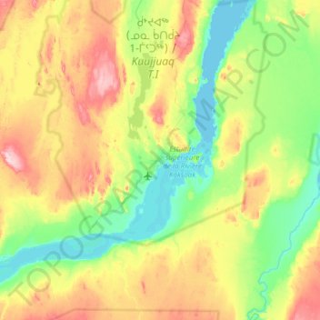
Name: Kuujjuaq topographic map, elevation, terrain.
Location: Kuujjuaq, Nord-du-Québec, Quebec, Canada (57.94669 -68.56388 58.26669 -68.24388)
Average elevation: 220 ft
Minimum elevation: -3 ft
Maximum elevation: 650 ft