
Neda topographic map
Interactive map
Click on the map to display elevation.
About this map
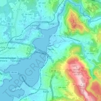
Name: Neda topographic map, elevation, terrain.
Location: Neda, Ferrol, A Coruña, Galicia, Spain (43.46783 -8.17013 43.53091 -8.08864)
Average elevation: 226 ft
Minimum elevation: -10 ft
Maximum elevation: 1,132 ft