
Don Benito topographic map
Interactive map
Click on the map to display elevation.
About this map
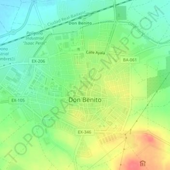
Name: Don Benito topographic map, elevation, terrain.
Location: Don Benito, Badajoz, Extremadura, 06400, Spain (38.94631 -5.87648 38.96648 -5.85246)
Average elevation: 919 ft
Minimum elevation: 837 ft
Maximum elevation: 1,030 ft