
Lincoln topographic map
Interactive map
Click on the map to display elevation.
About this map
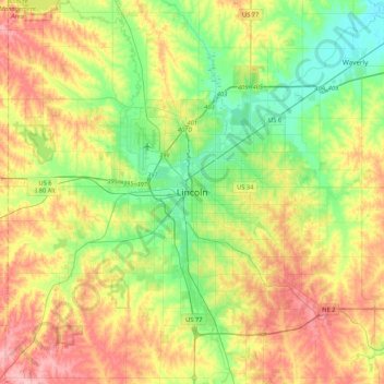
Name: Lincoln topographic map, elevation, terrain.
Location: Lincoln, Lancaster County, Nebraska, 68508, United States (40.64889 -96.86778 40.96889 -96.54778)
Average elevation: 1,270 ft
Minimum elevation: 1,102 ft
Maximum elevation: 1,506 ft