
Prescott topographic map
Interactive map
Click on the map to display elevation.
About this map
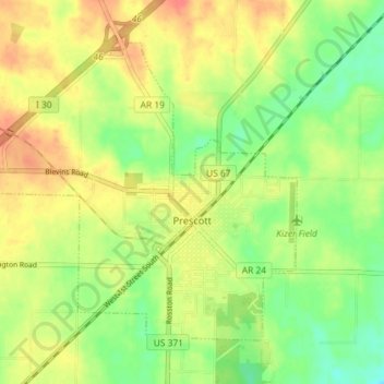
Name: Prescott topographic map, elevation, terrain.
Location: Prescott, Nevada County, Arkansas, 71857, United States (33.78383 -93.43261 33.83048 -93.36032)
Average elevation: 315 ft
Minimum elevation: 230 ft
Maximum elevation: 400 ft
Other topographic maps
Click on a map to view its topography, its elevation and its terrain.
Delta
United States > Arkansas > Nevada County
Delta, Nevada County, Arkansas, United States
Average elevation: 348 ft