
East Staffordshire topographic map
Interactive map
Click on the map to display elevation.
About this map
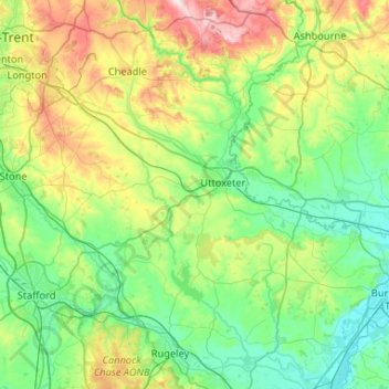
Name: East Staffordshire topographic map, elevation, terrain.
Average elevation: 433 ft
Minimum elevation: 144 ft
Maximum elevation: 1,247 ft
Other topographic maps
Click on a map to view its topography, its elevation and its terrain.
Hanbury
United Kingdom > England > East Staffordshire > Hanbury
Hanbury, East Staffordshire, Staffordshire, West Midlands, England, DE13 8TP, United Kingdom
Average elevation: 341 ft