
Bowman topographic map
Interactive map
Click on the map to display elevation.
About this map
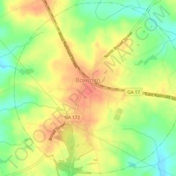
Name: Bowman topographic map, elevation, terrain.
Location: Bowman, Elbert County, Georgia, 30624, United States (34.19050 -83.04440 34.21674 -83.01302)
Average elevation: 732 ft
Minimum elevation: 643 ft
Maximum elevation: 801 ft