
Naka Ward topographic map
Interactive map
Click on the map to display elevation.
About this map
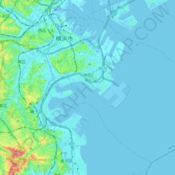
Name: Naka Ward topographic map, elevation, terrain.
Location: Naka Ward, Yokohama, Kanagawa Prefecture, Japan (35.35403 139.62167 35.46296 139.77693)
Average elevation: 3 ft
Minimum elevation: -30 ft
Maximum elevation: 226 ft