
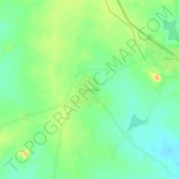
Maripeda topographic map
Interactive map
Click on the map to display elevation.
About this map
Name: Maripeda topographic map, elevation, terrain.
Location: Maripeda, Maripeda mandal, Mahabubabad, Telangana, India (17.35945 79.85247 17.39945 79.89247)
Average elevation: 610 ft
Minimum elevation: 561 ft
Maximum elevation: 679 ft