
Kuravi topographic map
Interactive map
Click on the map to display elevation.
About this map
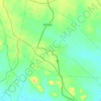
Name: Kuravi topographic map, elevation, terrain.
Location: Kuravi, Kuravi mandal, Mahabubabad, Telangana, 506105, India (17.50501 79.98110 17.54501 80.02110)
Average elevation: 666 ft
Minimum elevation: 617 ft
Maximum elevation: 728 ft