
Harishi topographic map
Interactive map
Click on the map to display elevation.
About this map
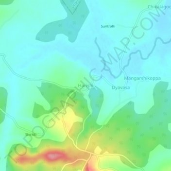
Name: Harishi topographic map, elevation, terrain.
Location: Harishi, Soraba taluk, Shimoga district, Karnataka, India (14.48133 74.91950 14.52133 74.95950)
Average elevation: 1,883 ft
Minimum elevation: 1,801 ft
Maximum elevation: 2,146 ft