
Oberhausen topographic map
Interactive map
Click on the map to display elevation.
About this map
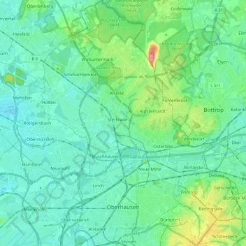
Name: Oberhausen topographic map, elevation, terrain.
Location: Oberhausen, North Rhine-Westphalia, 46045, Germany (51.44870 6.77733 51.57999 6.93046)
Average elevation: 151 ft
Minimum elevation: 56 ft
Maximum elevation: 558 ft
Other topographic maps
Click on a map to view its topography, its elevation and its terrain.
Oberhausen
Germany > North Rhine-Westphalia > Oberhausen
Oberhausen, North Rhine-Westphalia, 46045, Germany
Average elevation: 194 ft