
Merkez Fatih Mahallesi topographic map
Interactive map
Click on the map to display elevation.
About this map
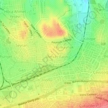
Name: Merkez Fatih Mahallesi topographic map, elevation, terrain.
Average elevation: 3,087 ft
Minimum elevation: 2,959 ft
Maximum elevation: 3,209 ft