
London topographic map
Interactive map
Click on the map to display elevation.
About this map
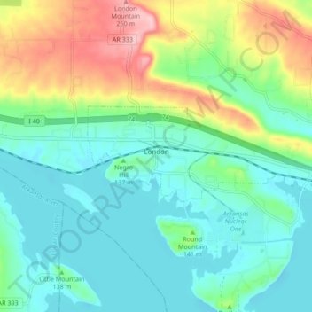
Name: London topographic map, elevation, terrain.
Location: London, Pope County, Arkansas, United States of America (35.31695 -93.27163 35.33893 -93.18746)
Average elevation: 476 ft
Minimum elevation: 328 ft
Maximum elevation: 846 ft