
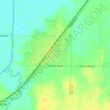
Greenwood topographic map
Interactive map
Click on the map to display elevation.
About this map
Name: Greenwood topographic map, elevation, terrain.
Location: Greenwood, Cass County, Nebraska, United States of America (40.95410 -96.45187 40.96688 -96.43589)
Average elevation: 1,119 ft
Minimum elevation: 1,083 ft
Maximum elevation: 1,165 ft