
Cantil topographic map
Interactive map
Click on the map to display elevation.
About this map
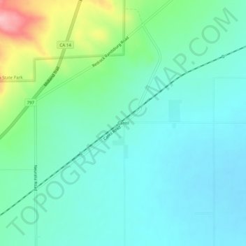
Name: Cantil topographic map, elevation, terrain.
Location: Cantil, Kern County, California, United States of America (35.28885 -117.98840 35.32885 -117.94840)
Average elevation: 2,060 ft
Minimum elevation: 1,936 ft
Maximum elevation: 2,484 ft