
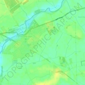
Battle Flat topographic map
Interactive map
Click on the map to display elevation.
About this map
Name: Battle Flat topographic map, elevation, terrain.
Average elevation: 52 ft
Minimum elevation: 20 ft
Maximum elevation: 89 ft
Topographically, on the east bank of the river from the bridge crossing point, the land rises sharply up to 100 feet at High Catton. This is the only high ground around and a good defensive position for Hardrada's army caught out by Godwinson's sudden appearance on the skyline, as he rounded the ridge at Gate Helmsley to drop downhill swiftly onto Hardrada's unsuspecting army.