
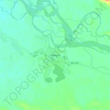
Oymyakon topographic map
Interactive map
Click on the map to display elevation.
About this map
Name: Oymyakon topographic map, elevation, terrain.
Average elevation: 2,228 ft
Minimum elevation: 2,198 ft
Maximum elevation: 2,310 ft
With an extreme subarctic climate (Köppen climate classification Dfd), Oymyakon is known as one of the places considered the Northern Pole of Cold, the other being the town of Verkhoyansk, located 629 km (391 mi) away by air. The weather station is in a valley between Oymyakon and Tomtor. The station is at 750 m (2,460 ft) above sea level and the surrounding mountains, at 1,100 m (3,600 ft), cause cold air to pool in the valley: in fact, recent studies show that winter temperatures in the area increase with altitude by as much as 10 °C (18 °F). The ground is permanently frozen (continuous permafrost).
Other topographic maps
Click on a map to view its topography, its elevation and its terrain.
Нелькан
Russia > Sakha Republic > Oymyakonsky Ulus
Нелькан, городское поселение Усть-Нера, Oymyakonsky Ulus, Sakha Republic, Far Eastern Federal District, Russia
Average elevation: 5,200 ft