
Grady topographic map
Interactive map
Click on the map to display elevation.
About this map
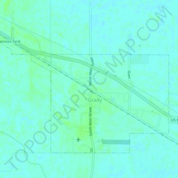
Name: Grady topographic map, elevation, terrain.
Location: Grady, Lincoln County, Arkansas, United States of America (34.06867 -91.72244 34.09229 -91.68287)
Average elevation: 184 ft
Minimum elevation: 174 ft
Maximum elevation: 197 ft