
Castro topographic map
Interactive map
Click on the map to display elevation.
About this map
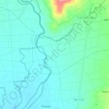
Name: Castro topographic map, elevation, terrain.
Location: Castro, Castrelo do Val, Verín, Ourense, Galicia, 32624, Spain (41.97183 -7.44361 41.99183 -7.42361)
Average elevation: 1,342 ft
Minimum elevation: 1,280 ft
Maximum elevation: 1,601 ft