
Hennuyères topographic map
Interactive map
Click on the map to display elevation.
About this map
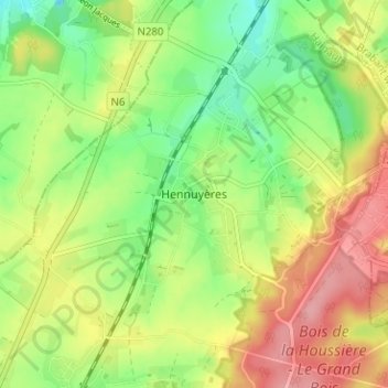
Name: Hennuyères topographic map, elevation, terrain.
Location: Hennuyères, Braine-Le-Comte, Hainaut, Wallonia, 7090, Belgium (50.61870 4.15157 50.65870 4.19157)
Average elevation: 328 ft
Minimum elevation: 167 ft
Maximum elevation: 512 ft