
La Montoya topographic map
Interactive map
Click on the map to display elevation.
About this map
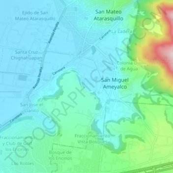
Name: La Montoya topographic map, elevation, terrain.
Location: La Montoya, Lerma, State of Mexico, 52040, Mexico (19.28529 -99.48552 19.32529 -99.44552)
Average elevation: 8,661 ft
Minimum elevation: 8,422 ft
Maximum elevation: 9,672 ft