
Nordelta topographic map
Interactive map
Click on the map to display elevation.
About this map
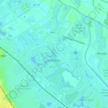
Name: Nordelta topographic map, elevation, terrain.
Location: Nordelta, Partido de Tigre, Buenos Aires, Argentina (-34.44329 -58.67942 -34.37796 -58.62353)
Average elevation: 13 ft
Minimum elevation: -10 ft
Maximum elevation: 72 ft