
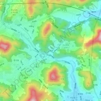
Orim-dong topographic map
Interactive map
Click on the map to display elevation.
About this map
Name: Orim-dong topographic map, elevation, terrain.
Location: Orim-dong, Yeosu-si, Jeollanam-do, 59697, South Korea (34.73980 127.69678 34.77980 127.73678)
Average elevation: 351 ft
Minimum elevation: 7 ft
Maximum elevation: 1,089 ft