
Watrous topographic map
Interactive map
Click on the map to display elevation.
About this map
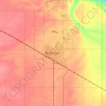
Name: Watrous topographic map, elevation, terrain.
Location: Watrous, Saskatchewan, S0K 4T0, Canada (51.63515 -105.50554 51.71515 -105.42554)
Average elevation: 1,785 ft
Minimum elevation: 1,621 ft
Maximum elevation: 1,844 ft