Burgess Junction topographic map
Interactive map
Click on the map to display elevation.
About this map
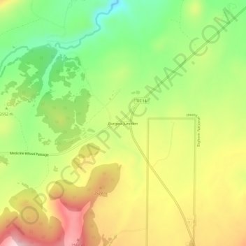
Name: Burgess Junction topographic map, elevation, terrain.
Average elevation: 8,068 ft
Minimum elevation: 7,641 ft
Maximum elevation: 8,537 ft

Click on the map to display elevation.
Name: Burgess Junction topographic map, elevation, terrain.
Average elevation: 8,068 ft
Minimum elevation: 7,641 ft
Maximum elevation: 8,537 ft