
Florence topographic map
Interactive map
Click on the map to display elevation.
About this map
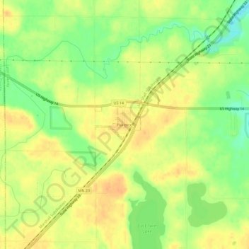
Name: Florence topographic map, elevation, terrain.
Location: Florence, Lyon County, Minnesota, United States of America (44.21719 -96.07197 44.25719 -96.03197)
Average elevation: 1,706 ft
Minimum elevation: 1,637 ft
Maximum elevation: 1,752 ft