
真金 topographic map
Interactive map
Click on the map to display elevation.
About this map
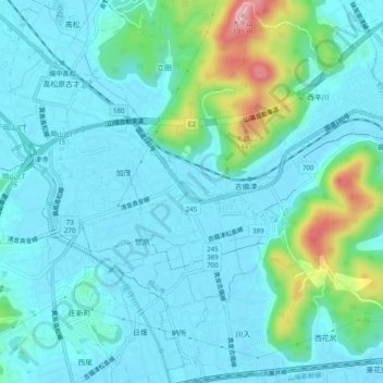
Name: 真金 topographic map, elevation, terrain.
Location: 真金, Kita Ward, Okayama, Okayama Prefecture, 7011341, Japan (34.65311 133.81881 34.69311 133.85881)
Average elevation: 105 ft
Minimum elevation: 0 ft
Maximum elevation: 591 ft