
Atanzón topographic map
Interactive map
Click on the map to display elevation.
About this map
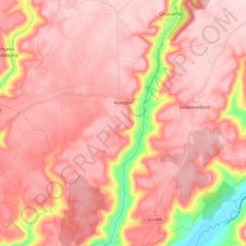
Name: Atanzón topographic map, elevation, terrain.
Location: Atanzón, Guadalajara, Castile-La Mancha, 19153, Spain (40.62288 -3.04873 40.69739 -2.98374)
Average elevation: 3,035 ft
Minimum elevation: 2,395 ft
Maximum elevation: 3,248 ft