
Çevreli topographic map
Interactive map
Click on the map to display elevation.
About this map
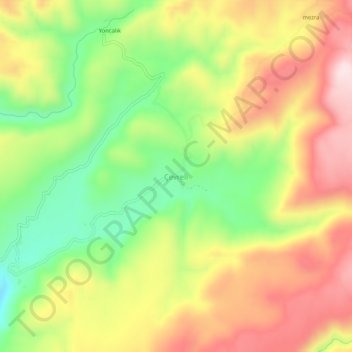
Name: Çevreli topographic map, elevation, terrain.
Location: Çevreli, Adaklı, Bingöl, Eastern Anatolia Region, Turkey (39.26069 40.63450 39.30069 40.67450)
Average elevation: 6,722 ft
Minimum elevation: 6,079 ft
Maximum elevation: 7,369 ft