
Hausham topographic map
Interactive map
Click on the map to display elevation.
About this map
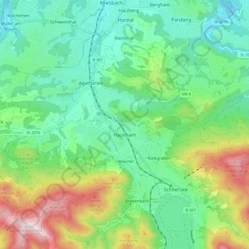
Name: Hausham topographic map, elevation, terrain.
Location: Hausham, Landkreis Miesbach, Bavaria, 83734, Germany (47.72695 11.78441 47.78060 11.89438)
Average elevation: 2,802 ft
Minimum elevation: 2,129 ft
Maximum elevation: 4,357 ft