
Rugha topographic map
Interactive map
Click on the map to display elevation.
About this map
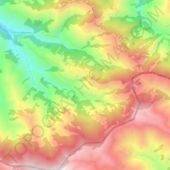
Name: Rugha topographic map, elevation, terrain.
Location: Rugha, Tribeni, Western Rukum District, Karnali Pradesh, Nepal (28.52130 82.42945 28.57937 82.49527)
Average elevation: 6,342 ft
Minimum elevation: 3,852 ft
Maximum elevation: 8,786 ft