
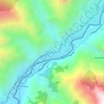
Nigalpani topographic map
Interactive map
Click on the map to display elevation.
About this map
Name: Nigalpani topographic map, elevation, terrain.
Location: Nigalpani, Uttarakhand, 262545, India (29.80788 80.49468 29.84788 80.53468)
Average elevation: 4,114 ft
Minimum elevation: 2,579 ft
Maximum elevation: 7,930 ft